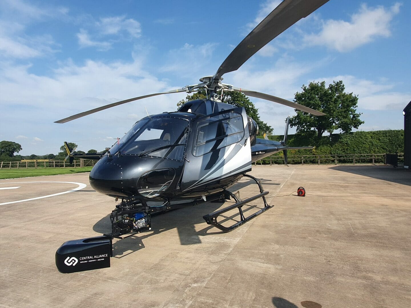
Central Alliance (part of the RSK Group) is pleased to confirm its investment in a bespoke helicopter pod, to facilitate aerial surveys.
Utilising the company’s new helicopter pod, Central Alliance now has the capacity to undertake high-quality data capture over wide areas. The tailor-made pod can accommodate several sensors and cameras and will primarily be used for the specialised aerial mapping Light Detection and Ranging (LiDAR) surveys, and Phase one camera imagery for photogrammetry. Typical applications include linear infrastructure and coastline surveys, and large areas of interest such as landslides, and flood risk areas.
Richard Pidcock, Joint Managing Director, Central Alliance said, “this investment is important for Central Alliance as the helicopter can provide significant advantages over unmanned aerial vehicles, particularly for linear and larger sites.”
With the purchase of the helicopter pod, LiDAR, and photogrammetry mass data, can be acquired and processed to fill the gap in the airspace between UAV’s and fixed wing airborne systems. This type of data cannot be acquired with the use of UAV’s, due to size and flying altitude, or fixed-wing airborne systems (airplanes) due to flying speed and point density.
For more information about Central Alliance or its aerial LiDAR service, please call 01924 229 889 or email info@central-alliance.co.uk.
